
Infra & estimating
From drawing to site survey, estimate and execution.
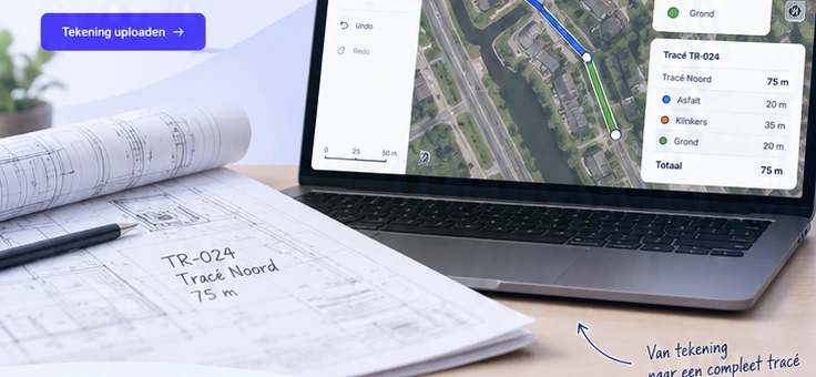
TR-024Route North
Recalculate section2 sample apps
Make plans visible, testable and ready to carry out.
From drawing to site survey, estimate and execution.
From product choice to a space you can discuss.
Featured
From drawing to site survey, estimate and execution.
Draw the route and see the ground surface per segment. The selected 75 metres remain the starting point.
Record on site where the paving differs. Photo, segment and notes stay together.
See the difference in the estimate and pass the change on to planning.
Sample data TR-024 · Route North
Describe what you want to sort out: you get a first version to adjust yourself.


